Skip to content Skip to footer

Mapping and Photogrammetry

Mapping and Photogrammetry

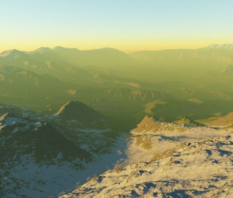
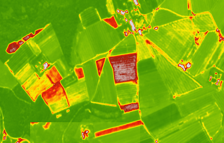
UAS Aerial Solutions are committed to providing the client with as much beneficial data as possible. We are now able to offer Mapping in the way of Orthorectified Images, 3D images, Orthomosaics, NDVI, Digital Elevation Model (DEM), Digital Surface Models (DSM), Digital Terrain Models (DTM) and topographical land survey to our portfolio, all via the use of our high spec fleet of drones and heightened ability to operate and process the captured data accordingly.

These new methods are an absolute must during construction phases of new build sites. We can collect topographical data to absolute accuracy implementing ground control points (GCP’s) saving copious man hours on the ground. The data is then uploaded to our specialist software and analysed with precision resulting in centimeter accurate 3D and 2D models allowing the client to scrutinise within their own time. Providing the means necessary to improve workflow during any new development or construction phase.

Digital Elevation Model

A digital elevation model (DEM) provides the visual data towards how the land lies allowing for accurate drainage planning or showing possible flood planes or where water might naturally gather. When rectified to appropriate standards such as OSGB 36 and combined with terrain detailing (DTM) and surface model (DSM). The data becomes a vital part of any new project. Traditionally carried out using total stations or theodolites, drone technology now has the capability to provide the same outputs and can be just as accurate when used in combination with a GPS Rover or GNSS equipment.

Drone inspection Services & Aerial Photography Experts.

NDVI

NDVI providing Normalised Difference Vegetation Index and how healthy a crop is, or areas where the growth may need attention. This is vital in any precision agriculture during the growth period, please do talk to us regarding your project and we can integrate the required equipment with our drones and speak with your agronomist to adopt the best solution.

3D Images

3D images could be used for stockpile monitoring, capturing volumetric data, or possibly providing 3D images of structures which can be viewed in real-time allowing for accurate measurement and positioning of other placed assets or any maintenance that might be required. Particularly useful within the heritage sector when carrying out sensitive maintenance and repairs to stonework etc. Densified point cloud, HD meshes combined with any of the other deliverables provided can be an unrivaled tool during the planning of any new development or construction phase.

Drone inspection Services & Aerial Photography Experts.

Orthorectified Images

Orthorectified images are essentially photogrammetry or a series of overlapping images stitched together and rectified against an ordinance survey base map which is of absolute accuracy.