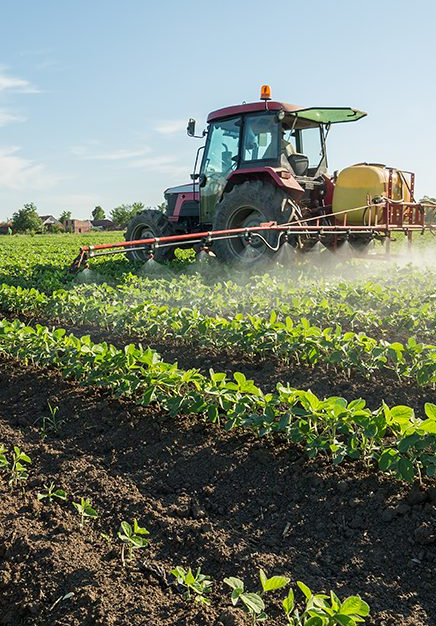
UAS Aerial Solutions are currently working within the US agriculture sector, helping clients to monitor crop health. Agricultural producers must embrace revolutionary strategies for producing food, increasing productivity, and making sustainability a priority. By utilising our high spec drones, it allows you to address several of these major challenges. Drones are part of the solution and we can assist with plans to improve future yields within uk agriculture.
Utilising our high specification drone technology, we can produce data within the NDVI spectrum, identifying which parts of a field are dry or need improvements contributing towards your crop scouting agenda. Additionally, once the crop is growing, our drones can continuously monitor your crop health allowing the calculation of the vegetation index, describing the relative density and crop health, displaying the heat signature (the amount of energy or heat the crop emits) allowing for early disease detection and improved survival statistics.
UAS Aerial Solutions also carry the ability to monitor land mass which was previously carried out via satellite, with image quality dependent on certain conditions and limitations to when the satellite is positioned correctly, providing inaccurate, poor quality imaging and data requisition. Satellite based services also come at a high cost and advanced booking is required.
UAS Aerial Solutions drone related services empower your business, providing you with greater flexibility and immediate data capture. UAS Aerial Solutions can offer the option for live view or recorded images and footage or both if necessary.